An unusual vehicle will soon be appearing on your street if you live in Yellowknife.
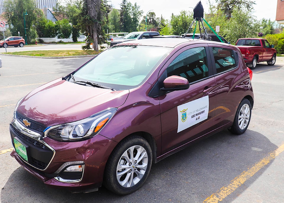
In an effort to evaluate the state of its roads and related infrastructure, such as traffic lights and signs, the City of Yellowknife will be taking 360-degree images of its roads during the next two weeks, using a vehicle-mounted camera.
The municipality says this technique “is a cutting-edge approach that will allow the city to assess road conditions more completely, and more often, at a fraction of the price of other methods.”
The vehicle will be surveying roads between July 19 and July 29. Four of these dates have sections of the city assigned to them: downtown on July 20; the Range Lake area on July 21; the Kam Lake area on July 22; and the Niven area and Old Town on July 25.
As for privacy concerns, the city says it will only share images that include personal information “when needed to support the delivery of services,” and will only share the images externally “under the terms of agreements which contain appropriate clauses to ensure the protection of privacy and personal information.”