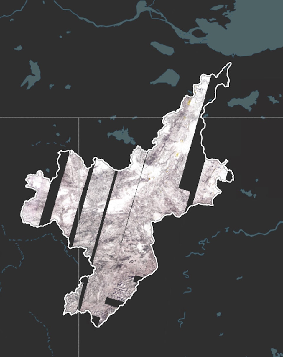
The Department of Environment and Natural Resources completed its yearly snow survey of the 50,000-square-kilometre Hay River basin in recent weeks and concluded there was about 32 per cent more snow in the area than normal.
Every year, the department measures the snow depth and weight to get a ‘snow water equivalent,’ which helps the community understand how much water will be left after the snow melts.
Ryan Connon, hydrologist for the department, said over the next two to three weeks, residents in Hay River should take precautions for potential flooding as snow and ice melt.
“In the surveys that we’ve completed on the NWT side of the border we’re finding about 132 percent normal, or average 32 per cent snow amount higher than usual for the Hay River basin,” he said.
More than 90 per cent of the Hay River basin falls within the Alberta and British Columbia borders and monitoring statistics in those locations, though sparse, show that figures are even higher at 40 per cent above the average amount of yearly snowfall, he added.
Connon reported that over the last two years, Hay River has seen the most streamflow into the river from snowmelt since the 1960s.
“What that tells us is in order to get that much water, there has been a lot of rain and a lot of snow,” he said.
Whenever the ground is exceedingly wet, it is unable to hold snowmelt water and it goes directly into the river, which appears to be likely again this year, he added.
Whether the amount of snow melt will directly lead to flooding is another question that is answered based on a multitude number of factors, including where and when temperature levels rise, Connon said.
“If it gets really hot in or near the Town of Hay River, that would be a good thing because it’ll give the ice a chance to melt out,” he explained. “When we’re looking at what happens in terms of flooding, it’s really going to depend on how the ice melts out.”
Typically, ice break up happens in one of two ways: the first is with a ‘thermal breakup,’ where the ice breaks due to sunshine and warm temperatures. This is preferable because it does not cause flooding, Connon said.
“The other is a mechanical break up, which is when a break up happens farther south, where you get really warm temperatures and the snow melts fast and flows to the river,” he said.
“The water to the river lifts up the ice, the ice breaks up and large chunks flow down the river.
“If that happens and if it has been cool and cold in town and the ice is still solid, all those chunks of ice will pile up and cause an ice jam. That would be bad.”
Snow survey data has been provided to the Town of Hay River and further updates are to be provided by the municipality in the weeks to come.