Though water levels have receded somewhat over the last 24 hours, Fort McPherson remains in a state of emergency and Aklavik is now on flood watch as the spring ice surge flows towards the Arctic ocean.
An NWT Water Monitoring bulletin released May 18 detailed the situation.
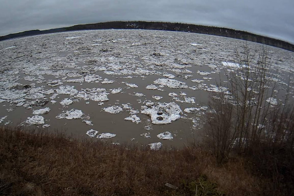
“Cabin owners along the Peel River and residents of Fort McPherson should be aware of continued potential for high water along the Peel River,” reads the report. “The water level on the Peel River at Fort McPherson has been slowly receding over the past 24 hours after the large ice jam shifted downstream of the community.
“It is likely that the water level peaked around 12 p.m. yesterday, but recession of the water level is slow due to the ice jam downstream.”
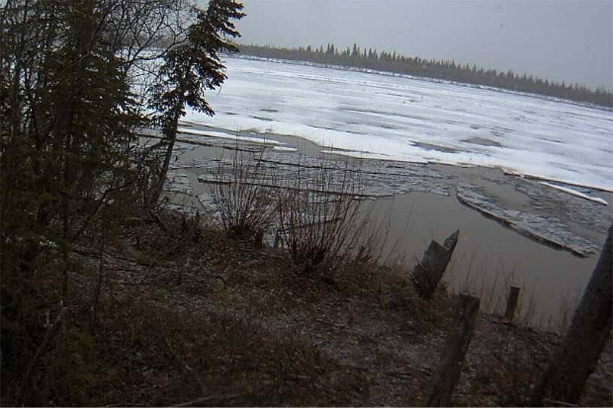
The report notes water levels around Tsiigehtchic are rising but so far are “well within their normal range.”
Aklavik, on the other hand, should prepare for high water as the spring surge approaches the community.
“The water level underneath the ice at Aklavik has been rising quickly,” says the report. “Peak water level will be dependent on how the ice and water move through the many channels of the delta. Ice from the main stem of the Mackenzie River has packed into the delta at the confluence of the Peel River.”
The report goes on to explain the possibility of flooding will depend largely on the weather in the Beaufort Delta and elsewhere. Ice build up here combined with heavy melts elsewhere can lead to surges of water having nowhere to go downstream. The report notes the location of an ice jam is also an important factor in flooding.
Currently, the forecast is for a warmer-than-seasonal weekend and an above-average Victoria Day, which the authors anticipate should hasten the breakup of ice.
“In any given year, spring flooding can occur in a number of NWT communities, including Hay River, Jean Marie River, Fort Simpson, Fort Liard, Nahanni Butte, Tulita, Fort Good Hope, Fort McPherson and Aklavik. Spring flooding is caused by ice jam-induced flooding and can occur irrespective of existing water levels. However, if existing water levels are high, the impact of an ice jam flood can be much worse.
“Ice jams typically form when on north-flowing rivers, where warm weather and snowmelt cause ice to break up on the southern reaches of a river. As this ice flows north (downstream), it meets a more solid ice cover. When this happens, the pieces of floating ice jam on the solid ice and can form a dam, which causes water levels to rise rapidly. This is called a mechanical break up, whereby the ice downstream is broken up by the force of ice moving into it.
“If there is warm and sunny weather throughout early spring, the ice will thermally erode and weaken. This provides less of a resisting force for ice and water moving down the river and will have less of a chance of causing water levels to rise. This is called a thermal break up.”
Read the bulletin here.