By recognizing the plain-to-see symptoms, it's been easy for the Consortium for Permafrost Ecosystems in Transition to monitor permafrost thaw throughout the Deh Cho region.
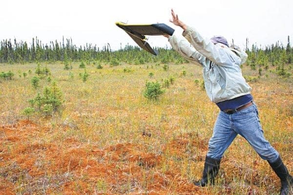
"Scotty Creek is kind of an interesting insight into permafrost because it's a place where, when permafrost thaws, you can see it from the air or from satellites, you can see it from space," says Bill Quinton, principle investigator for the consortium (CPET).
As Scotty Creek, which drains into the Liard River, is in a wetland area, all the land around it is water-rich. When permafrost thaws, the land heaves and shifts and black spruce trees – which only survive in relatively dry areas, which permafrost can provide – become waterlogged and die.
These measurable impacts have helped CPET highlight 10 areas, each 36 square kilometres, and measure satellite images from 1970 with some from 2010 to determine trends in permafrost loss.
At the beginning of the year, this project was one of 41 projects that received funding through Polar Knowledge Canada, a federal agency responsible for Northern knowledge, science and technology.
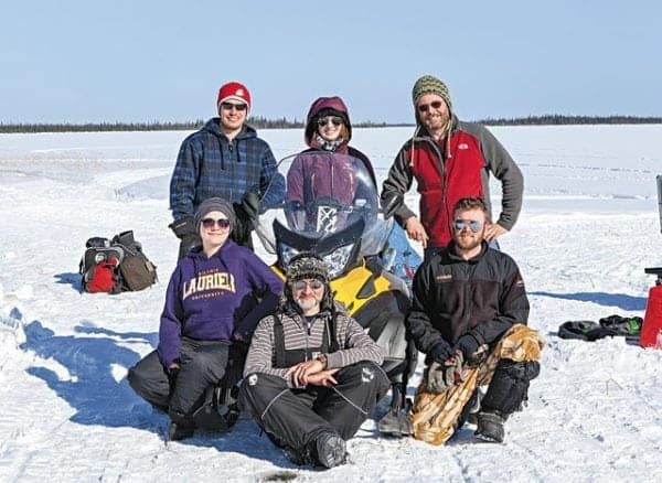
Run through Wilfrid Laurier University, CPET has been awarded $250,000 over two years to continue the research it's been conducting since 2015, though Quinton says its building on research that began in the 1990s.
Beginning in 1995, water levels in the Liard River were observed to be rising. This rise tapered off in 2014, corresponding with the driest year on record since 1941, according to Quinton, who's been involved in the research over the years.
There was no corresponding increase in rainfall or snowfall, and Quinton says his team initially thought there might be a link to the water from melting permafrost. The problem was, the amount of water released by the melt didn't hold a candle to the raising levels in the river.
What happened, says Quinton, was a bit more indirect. As the permafrost thawed, the landscape changed. New channels opened up for drainage from wetlands that, before, didn't have routes to flow into the river.
"It's like removing the dams," says Quinton.
In 2014, two things happened to halt this gradual increase, he posits: precipitation reached historic lows and the drainage basin in the lower Liard River valley reached a point where everything was more or less connected, so no new water sources were becoming available.
This is a big part of CPET's aims: to predict changes in the amount of water available around the NWT-B.C. border, and to share that knowledge with government and First Nations so they can plan accordingly.
Another aspect of CPET's work that Quinton highlights is a thermosiphon system, developed by his student, Michael Braverman, that can stabilize and even refreeze permafrost. Quinton says the system could have practical application for stabilizing roads and runways or ground around pipelines.
Quinton says CPET has developed a website, scottycreek.com, at which residents of the area can read information about the project and get updates on its findings.