Water levels throughout the basins feeding into Great Slave Lake are the highest ever seen in the two decades since recording began, and spring flooding may result.
A report released earlier this month – led by Environment and Climate Change Canada (ECCC) – indicated high inflows to Great Slave Lake from the Slave River, which itself had “very high flows” from the Peace and Athabasca rivers, as well as high water levels in the Peace-Athabasca Delta and Lake Athabasca.
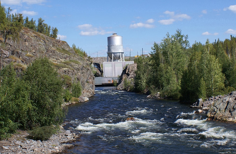
Photo courtesy of Stephen Ellis
The analysis also revealed “much higher than normal” flow rates from other local rivers that flow into Great Slave Lake.
“It is unusual for all of these inputs to be extremely high at the same time,” the GNWT Department of Environment and Natural Resources (ENR) stated in a news release summarizing the report.
As a result of the high water levels, ENR is warning the public of high potential for flooding and cautioning residents with property close to rivers, lakes and streams to take steps now to prepare for snowmelt this spring. The department suggests cabin owners remove or elevate electrical components as well as furniture and carpets and move valuables to a safe place.
Because conditions are unprecedented, ENR spokesperson Jaimee Kepa said it is difficult to predict exactly what will happen.
Based on existing data, high water levels are expected to continue, particularly in the South Slave region, though conditions will depend on timing and volume of snow and rain, thickness of river and lake ice as well as the timing and rate of spring melt.
The hydrological experts involved in analyzing the water levels include representatives from ECCC, ENR, the Global Water Futures program from the University of Saskatchewan, BC Hydro and the Government of Alberta.
The high rates of precipitation – as much as 200 per cent above normal in the Peace Athabasca Delta region – and snowmelt are noted as contributors to the excess water flows.
The working group also looked at the operations of the Williston Reservoir and the W.A.C. Bennett Dam on the Peace River in B.C. The report indicated that prolonged spills from the dam over the summer months and higher than normal releases from the reservoir were due to high inflow volumes received in early spring and through the summer.
The analysis determined that the W.A.C Bennett Dam likely reduced higher flows on the Peace and Slave rivers and Great Slave Lake water levels may have been even greater without its flow regulation.
While it is difficult for the working group to make predictions due to the lack of data on water levels this high, the report states “even if inflows decrease significantly, it will take a while for the levels to fall because of the large surface area of Great Slave Lake.”
The GNWT will continue to monitor water levels throughout the NWT and update the public as new information develops. In the meantime, real-time water level and flow data for rivers and lakes in the NWT can be found on Environment and Climate Change Canada’s website.