As permafrost thaws and development takes place, the Gwich'in are keeping an eye on their cultural resources with the help of researchers from the University of Victoria.

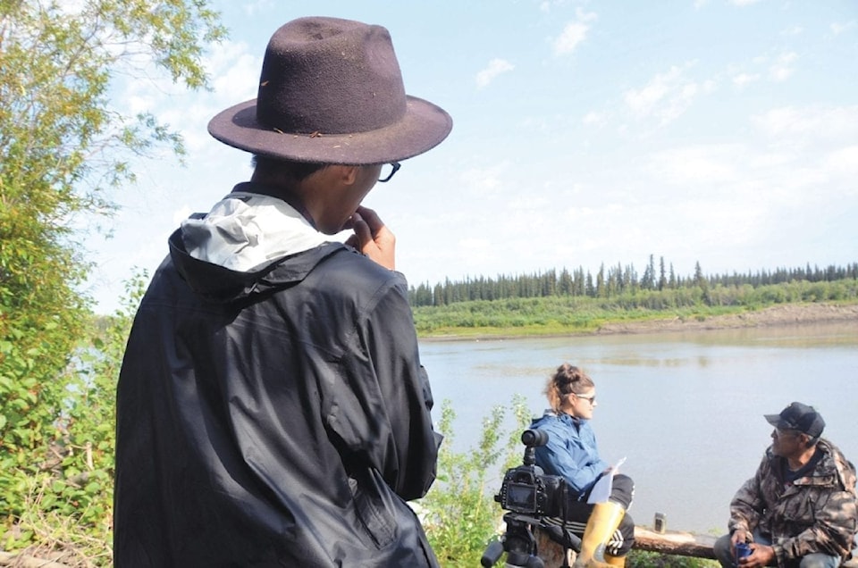
McPherson's Arlyn Charlie works the camera as researcher Tracey Proverbs interviews Abe Stewart at his fish camp on the Peel River in 2017, as a part of a research project mapping the overlap between important cultural sites and environmental disturbances on Gwich'in territory.
Rayna Vittrekwa photo
"We've been looking at the overlap between cultural features on the land in Gwich'in territory and Gwich'in Settlement Region with environmental disturbances like roads or seismic lines of thaw slumps," said Tracey Proverbs, a masters candidate at the University of Victoria's School of Environmental Studies, who's working on the project.
The cultural features are things like historic harvesting trails mapped during the Dene Mapping Project, traditional land-use areas such as berry-picking sites and caribou hunting spots, as well as archaeological sites.
"It's a big mapping project and all of that cultural data is really coming from the Gwich'in Tribal Council's (GTC) Department of Cultural Heritage. We've been really lucky to collaborate with them and basically build on 40 years of work to document these really important cultural features."
Proverbs said the data so far shows a "moderate" amount of overlap of cultural sites with "relatively low-intensity disturbances."
She said the work being done amounts to a sort of pilot project and the first step in a process that could be of use to land-use planning and management organizations in the region.
The project is helping the GTC's Department of Cultural Heritage execute its mandate of monitoring and responding to threats to cultural heritage, according to Kristi Benson, a heritage specialist with the department.
"If someone is going to come into the Gwich'in Settlement Region to undertake any kind of cultural research, we are definitely partnering with these researchers," said Benson.
"If there's going to be research dollars spent and research energy focused, (this information identifies) areas that have a lot of threat and that are rich in cultural resources that we are going to want to focus on."
Benson added that the department is also involved in assessing things like land use and water permit applications, which could also be helped by data from this mapping project.
"I do think there has been steady interest in the area, especially since the North is changing so rapidly with global climate change, and researchers are saying, you know, we really need to get on this. It's urgent," said Benson.