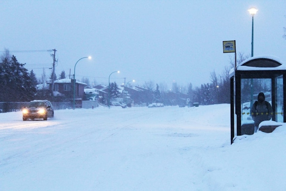
Warnings of heavy snowfall or extreme cold are in effect across the Northwest Territories.
Environment Canada warns of 10 to 15 centimetres of snow in regions including Fort Liard and Fort Simpson/Jean Marie River, Fort Providence/Highway 6, Hay River and Enterprise, Fort Smith and the Salt River First Nation, and Yellowknife.
"Snow will begin tonight for areas near Fort Simpson and Thursday morning for communities to the east with the heaviest accumulations occurring by Thursday evening," the online weather bulletin states. "Light snow will linger through Friday morning with storm total amounts in the 10 to 15 cm range. Additionally, gusty winds will reduce visibility in blowing snow.

"In the Fort Liard region, the highest snowfall amounts are expected to be in the northern part of the region."
Meanwhile, extreme temperatures are expected in the North Slave (Wekweeti - Whati - Behchoko), Inuvik and Delta regions, and Tuktoyaktuk/East Channel regions.
Environment Canada warns of wind chill values of around minus 50 in places like the North Slave, and between minus 50 and minus 55 in Inuvik and Tuktoyaktuk.
"Extreme cold conditions will develop tonight and are expected to persist into Thursday morning," according to the warning. "Watch for cold related symptoms: shortness of breath, chest pain, muscle pain and weakness, numbness and colour change in fingers and toes.
"Cover up. Frostbite can develop within minutes on exposed skin, especially with wind chill (and) if it's too cold for you to stay outside, it's too cold for your pet to stay outside."