The Yellowknife area saw its third wettest summer on record but kept pace with average temperatures as official summer record-keeping came to a close last week.
The federal Department of Environment and Climate Change Canada calculates meteorological summer figures from June 1-Aug. 31.
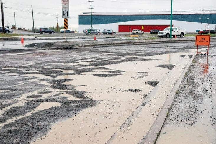
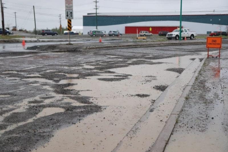
NNSL file photo
Between those three months, Yellowknife and area saw 193.6 mm of rain, which was above the 178 mm average over 30 years.
It was the third wettest in 78 years of recorded data, according to the department.
Last year, there was 135 mm of rain during the summer.
In 2018, there was 248 mm of precipitation between June and August, which established a record.
RELATED COVERAGE: July on pace to see rainfall record in Yellowknife
RELATED COVERAGE: Warm temps coming but deep cold will return: Environment Canada
RELATED COVERAGE: Summer 2019 drier, cooler than previous year in Yellowknife
Terri Lang, a meteorologist with the department, said on Wednesday that this summer's weather brought plenty of moisture.
In June there was 28.6 mm of rain compared the 28.9 mm over a 30-year average, making it the 31st wettest, but just about average.
July saw 97.6 mm of rain, which was more than double the 40.8 mm average over 30 years. That made that month the second-wettest July on record over close to 80 years of recorded figures.
"To me that is a significant number and that to me that is wet," Lang reflected.
August proved to be the 12th wettest for that time of the year with 67.4 mm of rain – well above the 39.3 mm average over the past three decades.
Average temperatures despite dampness
Over those three summer months, the 30-year average temperature is 14.8 C, Lang said.
Typically, summers with heavy rainfall see cooler temperatures because skies are filled with clouds, she explained. In 2020, however, the summer warmth was about on par with what is expected every year in Yellowknife.
The result this summer was a 14.7 C average – "pretty much bang on, though slightly colder than average," Lang said.
June started out cooler than average at 12.8 C, which is below the 13.3 C average over 30 years.
July was also below that month's 17 C average, at 16.3 C.
In August, however, Yellowknife and area enjoyed an average of 15.1 C which eclipsed the 30-year average of 14.2 C.
"So it was warmer, but it was not a 'holy crap, that was hot type of month, but was actually the 26th warmest on record, evening out the summer," Lang said.
The meteorologist pointed out rainfall and cool temperatures washed out any threat of wildfires this year.
"Are you hearing much about wildfires this year? Well, not at all because it's been so darn wet and cool," Lang said. "Other years it doesn't rain, (there's) record dryness and the forests are burning down. That's just the way it goes."
The department doesn't typically forecast beyond a three-month window, but projections currently show that September to November will see temperatures slightly warmer than average, Lang said.
"The fall is forecast to be above-average temperature," she said. "That doesn't mean it won't get cold on some days or warm on other days, but it will be about on average."