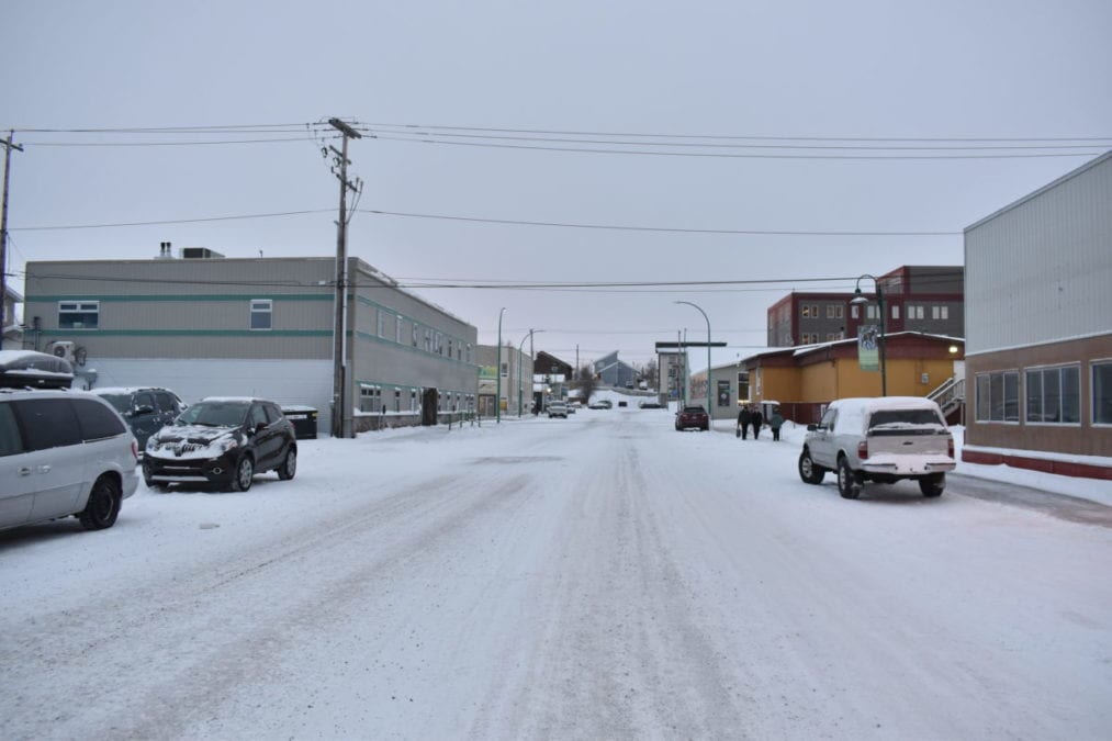
People in the Yellowknife region can expect warmer than average weather this week, Terri Lang, a meteorologist for Environment and Climate Change Canada said Tuesday.
A high pressure ridge currently hanging over western Canada is forecast to bring unseasonably warm air that will deflect weather systems around it and drive up temperatures.
"The average high is -17 C now and the average overnight low is -25 C," Lang said. "Later this week we're looking for highs around 0 C. It's running quite mild. They'll cool off towards the weekend but (temperatures) are still above average."

Snowfall will probably also be lower than usual due to the high pressure pushing weather around it.
"It will be drier than average. We shouldn't expect any big snowfall coming through."
Even though the upcoming winter is forecast to experience La Niña conditions of colder-than-average temperatures, a warmer December can still be consistent with that pattern because the "deep freeze" conditions will arrive in January and February.
Lang said those forecasts don't mean it won't be cold or snowy in December, and that the temperature range for early December have historically been very wide.
"If we take today as a snapshot, the highest temperature was 1.3 C in 1988 but then in 1961 it was -41.1 C on Dec. 1 1961. That shows the range that is possible. We should enjoy the warmer conditions but everybody should be prepared for the colder temperatures down the way."