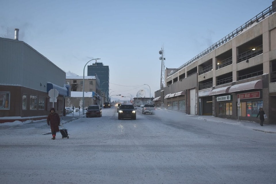
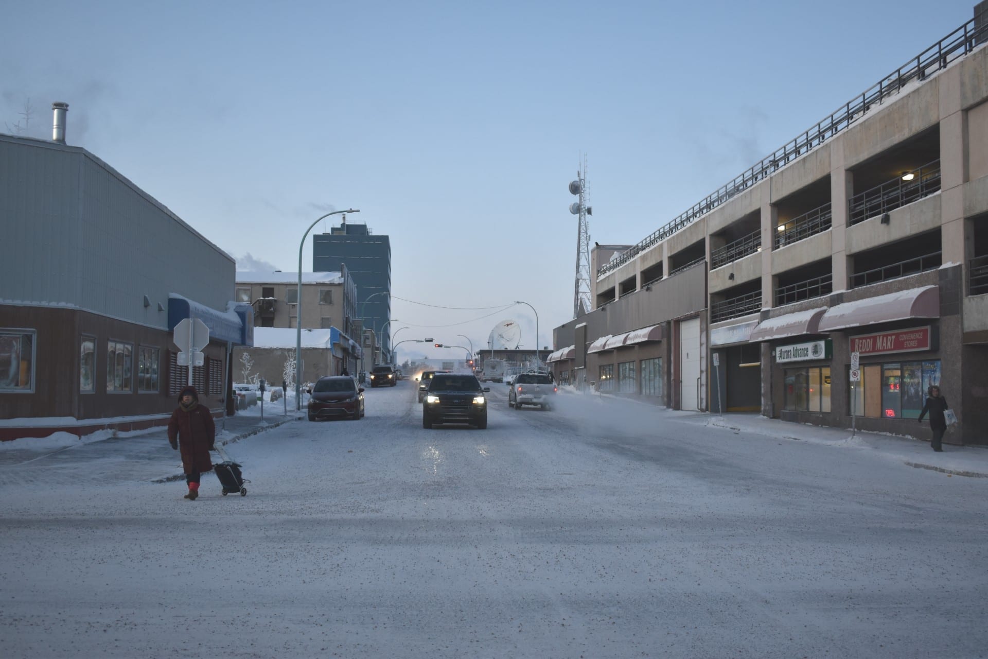
Yellowknifers might get some respite from the recent extreme cold snap as conditions are expected to warm up tomorrow.
“By Thursday and Friday the temperatures will be more close to seasonal,” as Sara Hoffman, a meteorologist with Environment and Climate Change Canada (ECCC) told Yellowknifer.
“On Thursday a low pressure system will form in northern Alberta and will head northeast over Great Slave Lake and bring cloud and snow to Yellowknife. That will help bring temperatures back to a daytime high of -21,” said the Edmonton-based meteorologist.
Up to five centimetres of snow could fall later in the week as the warmer temperatures will give residents of the capital a break until at least Monday.
Environment Canada issues an extreme cold warning – still in effect for Yellowknife – when the windchill or absolute temperature has the potential to fall to -50 C.
The windchill temperature in Yellowknife Wednesday was at -51 C.
The cold spell was caused by an Arctic ridge that moved south and entrenched itself all the way down to the prairies and parts of Ontario.
Ridges bring clear skies at night that exacerbate the cold because cloud cover normally keeps heat from reflecting back into space.